
Sunday Night:
All flood alerts have come to an end as showers and storms continue to move out of SE Texas.
The great news is, our last batch of storms is moving in north of 290 and should clear out by midnight.
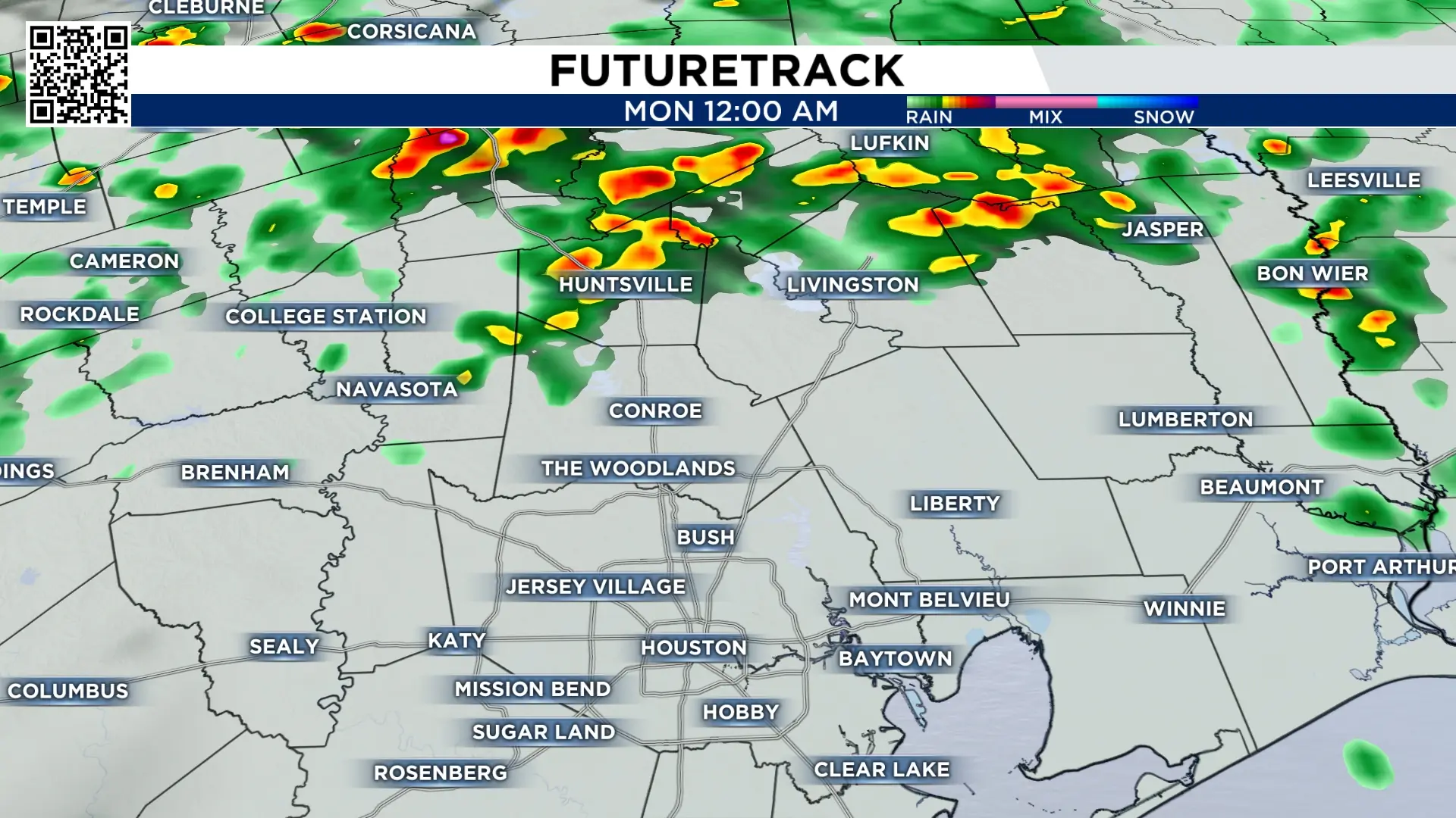
Check radar here:

Monday’s Forecast:
After a weekend of downpours - southeast Texas get a break from widespread rain and storms.
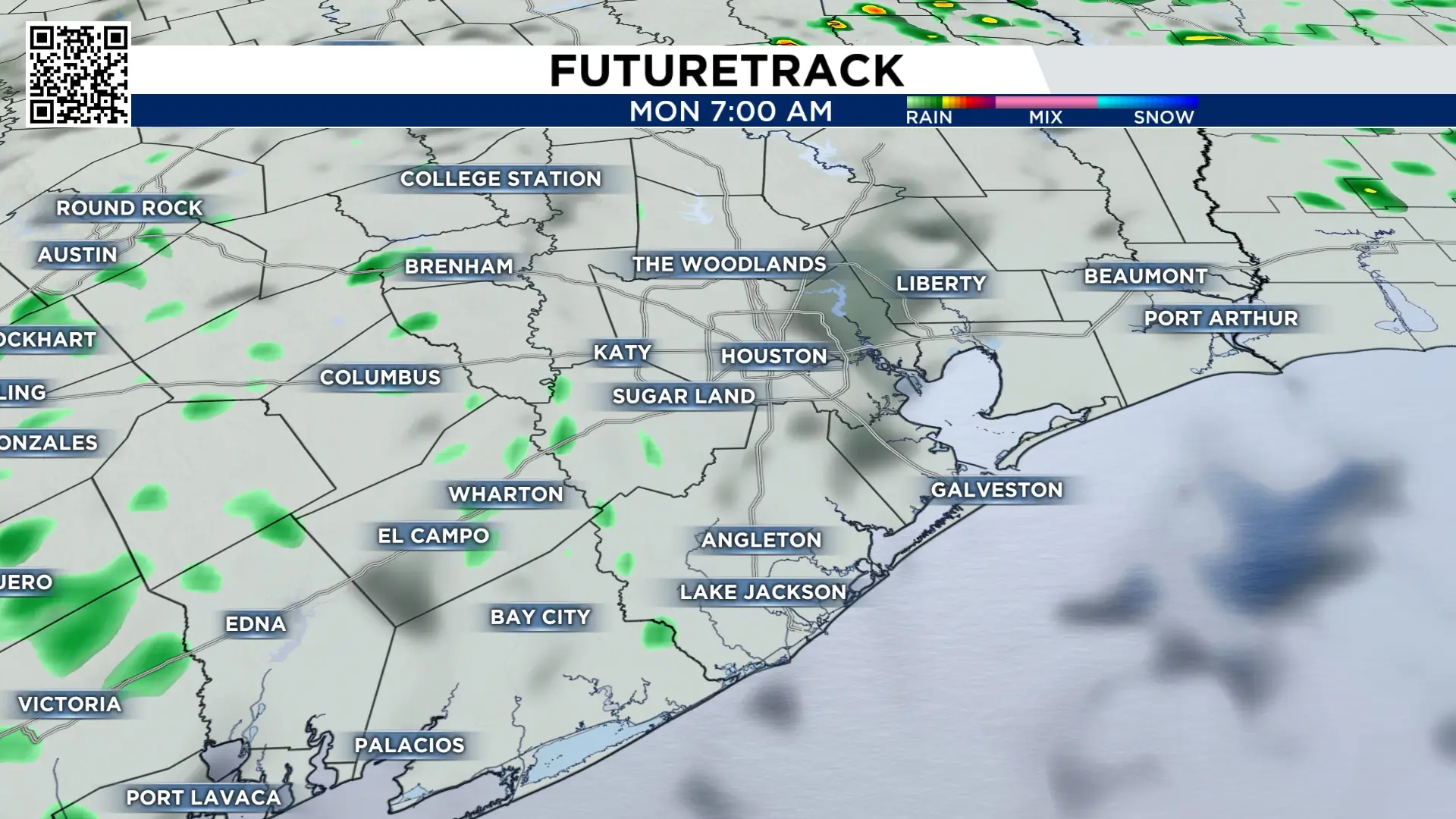
Monday morning an isolated shower is possible south of I-10.
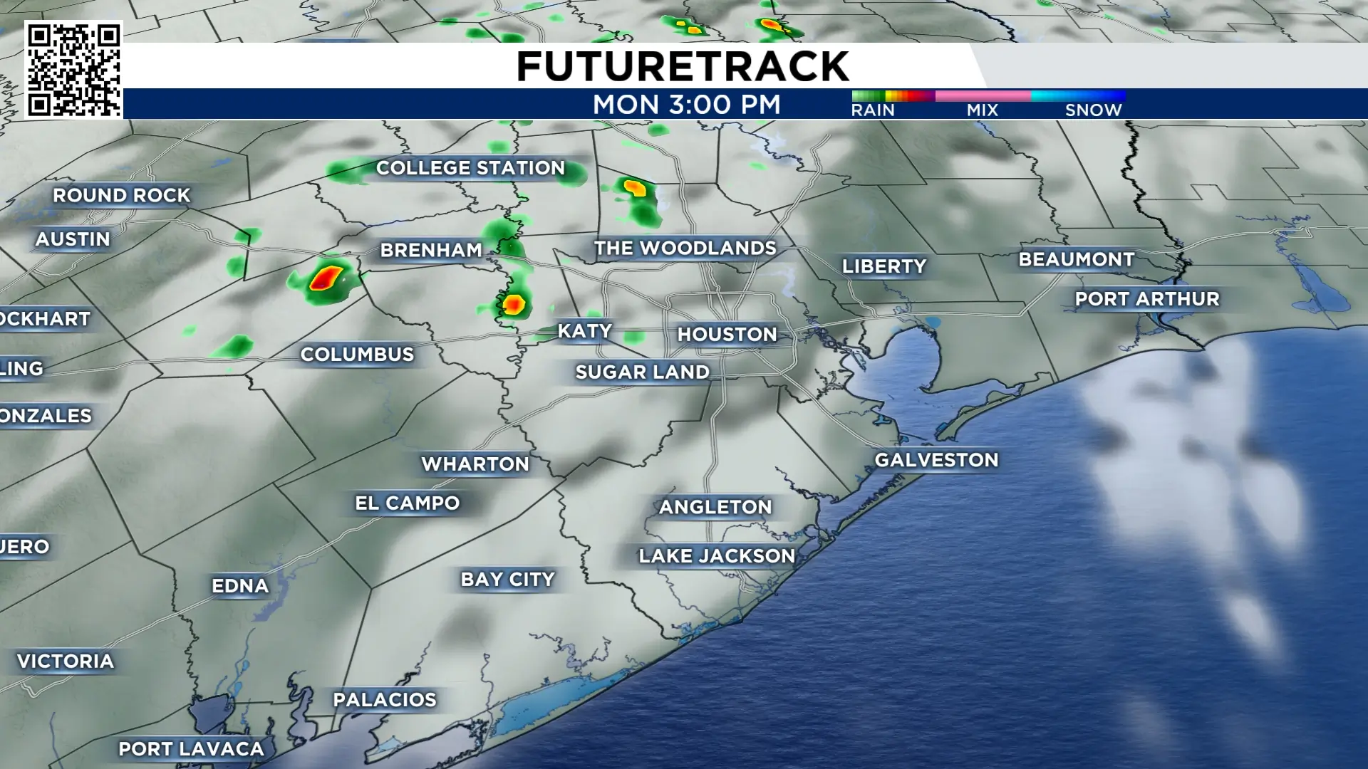
Monday evening, the best chance for rain and isolated storm will remain west of Harris county but it looks spotty and far from a wash out.
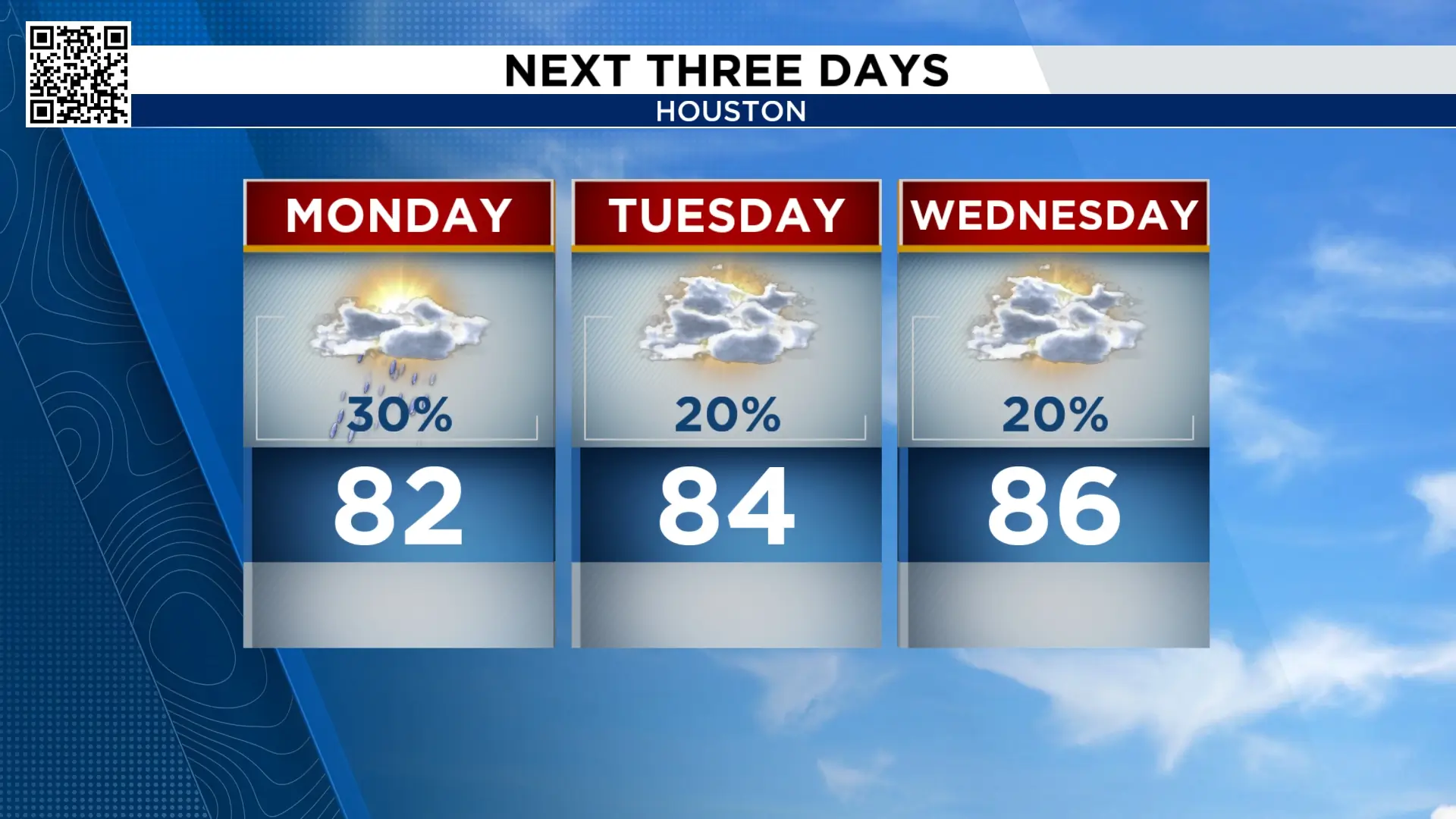
Temperatures stay mild and humidity stays high.
Next Cold Front:
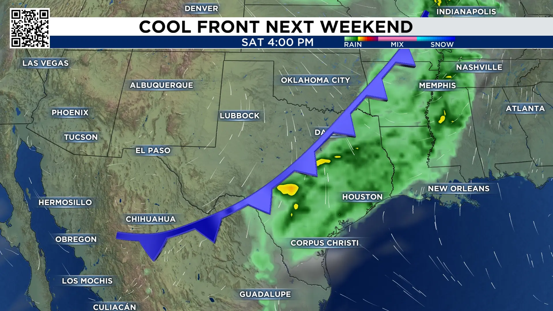
It won’t be until the weekend that we see a cool front bring a temperature change.
Rain is also possible along the front - so stay connected as we monitor the timing and intensity.
Extended forecast:
The spring showers stick around through the middle of the week.


More Stories Like This In Our Email Newsletter
