
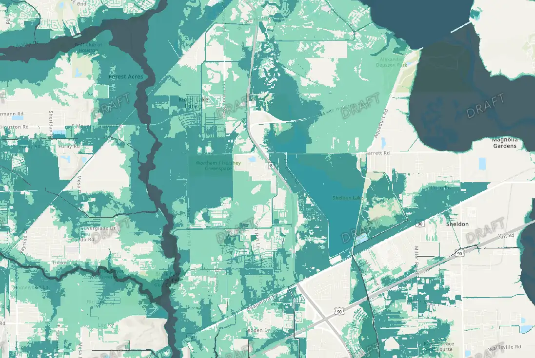
Harris County residents still have several chances to learn more about FEMA’s newly released draft floodplain maps and how they could impact neighborhoods across the Houston area.
If you’re trying to find out what the new draft flood maps mean for your property or community, these meetings will explain how to search the maps and interpret the results.
Recommended Videos
The Harris County Flood Control District has scheduled additional virtual public meetings where residents can hear updates, ask questions, and provide feedback about the proposed floodplain changes.
Officials say the meetings are part of the agency’s broader effort to keep residents informed as FEMA updates flood risk maps to reflect increased rainfall, development, and flood mitigation projects completed throughout the county.
Emily Woodell, chief external affairs officer for the Harris County Flood Control District, told KPRC’s Deven Clark the updated maps account for increased rainfall, development across the county, and large-scale mitigation projects, including channel widening, bridge replacements, and expanded stormwater detention along bayous like Brays Bayou.
The district is encouraging residents to review the maps carefully and attend one of the remaining meetings.
Upcoming Virtual Meetings:
• June 8, 2026 — 12:00 p.m. (register here)
• June 23, 2026 — 4:30 p.m. (register here)
• July 1, 2026 — 12:00 p.m. (register here)
Residents can also register for meetings and review project materials through the Harris County Flood Control District website.
Search FEMA proposed Houston area flood maps
You can review floodplain changes using the county’s interactive online mapping tool.
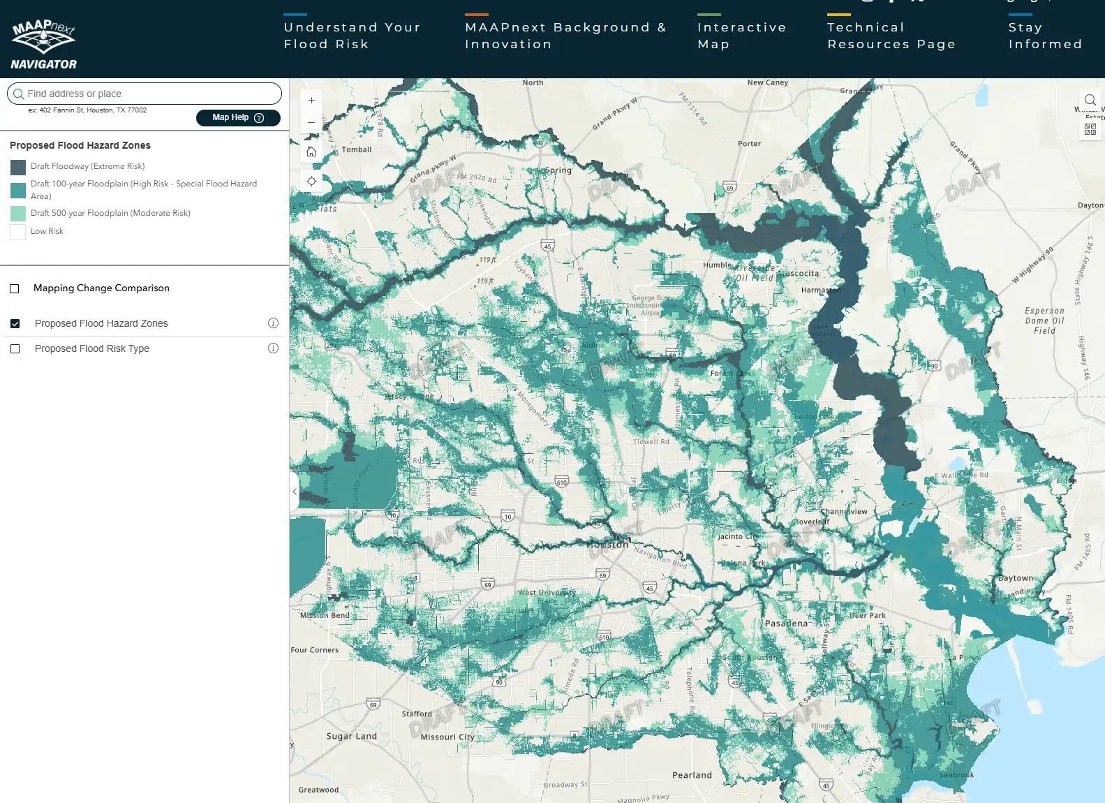
CHECK MAP: Click here to search your address in the map
The Flood Control District says the draft maps currently carry no regulatory implications, but community input remains critical during the review process.
According to district officials, some neighborhoods are seeing an expansion of floodplain boundaries due to updated rainfall data, while others are being removed from floodplain zones because of major infrastructure improvements completed in recent years.
Projects across Harris County have included bayou widening, bridge replacements, and expanded stormwater detention systems designed to reduce flood risk.
Officials say public feedback gathered during the meetings will help shape future flood mitigation planning and project development throughout the county.
