Recommended Videos
Houston’s stormy stretch is over, but the tradeoff is a return to intense summer heat. Temperatures will climb through the weekend, with Sunday approaching 100 degrees before an even hotter pattern takes hold next week.
Several consecutive days of triple-digit temperatures are possible, while heat index values could reach 108 to 110 degrees. This will prompt heat advisories starting as early as Tuesday. Overnight lows near 80 will provide little relief, increasing the risk of heat stress through the upcoming workweek.
Weekend Forecast:
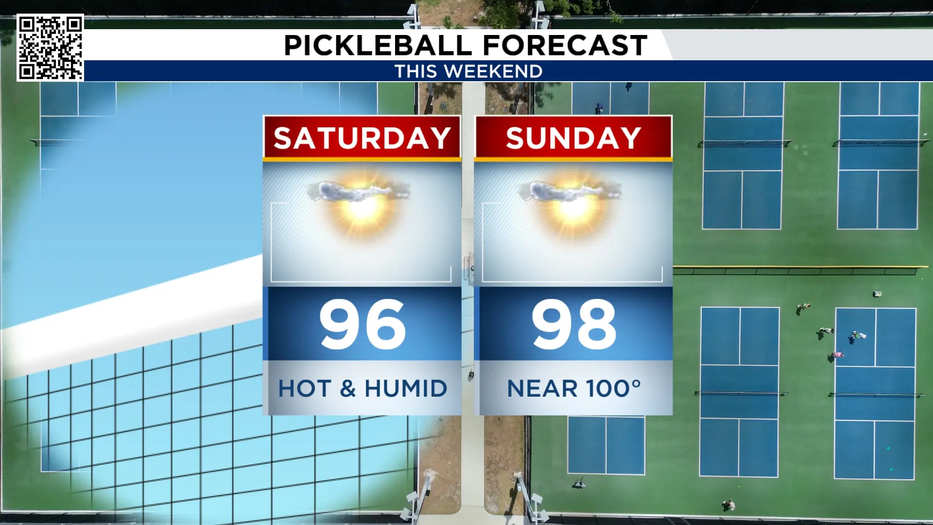
Saturday will be mostly sunny, hot and humid, with a high near 96 degrees. Sunday turns even hotter, with temperatures climbing close to 100 degrees. There is no rain in the forecast, so outdoor plans will stay dry, but anyone spending extended time outside will need frequent breaks, water and shade.
High pressure dome will keep a sizzling forecast:
A very stout ridge of high pressure is strengthening across the Central Plains and will be the dominant weather pattern for us for the next 7 to 12 days.

Once these high-pressure ridges get into place, they will not move for a number of days. We will likely see this high keep strengthening through late next week.
Next Week’s Forecast:
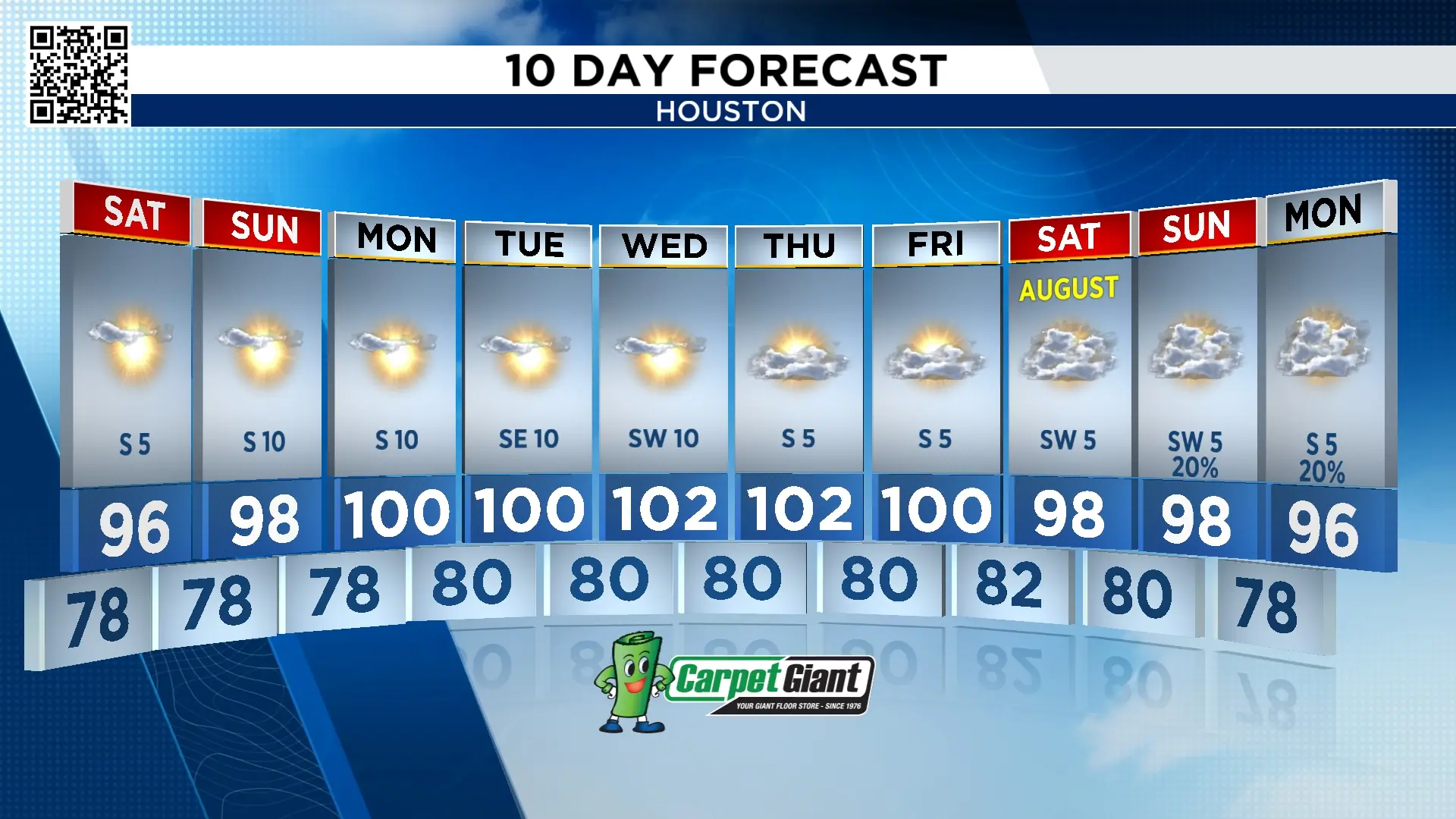
Houston is forecast to reach 100 degrees Monday, followed by highs ranging between 100° to 102° through Friday!

Heat index values will range between 107° to 110° each afternoon. Once the heat index hits 108° heat advisories go into effect.

The tropics will stay quiet:
We’ll get long break from our next storm. There is nothing brewing in the tropics for the next seven to ten days.

10 Day Forecast:
The forecast remains dry through the end of next week as temperatures surge into the triple digits. A slight increase in clouds and moisture could bring temperatures back into the upper and mid-90s next weekend. There is also a chance of rain at the end of the forecast.