
Wednesday’s forecast:
We had some impressive thunderstorms Tuesday afternoon and night. While isolated to the northern Houston area, this rain prompted two flood advisories. A similar set up is expected Wednesday. Temperatures climb to the upper 90s with a 20% chance of more thunderstorms. The heat index will range between 104°-106° in the afternoon.

Thursday’s forecast:
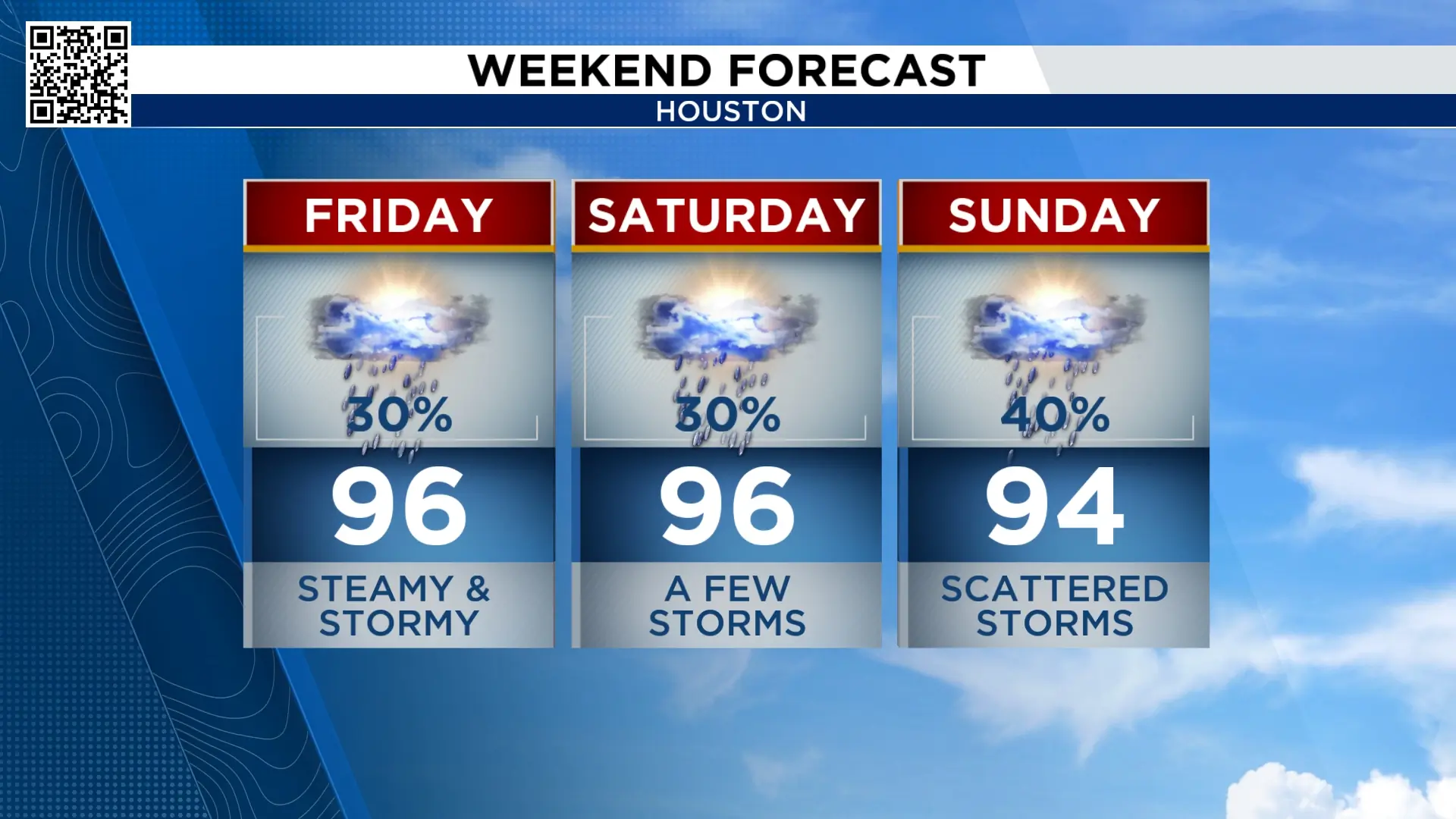
Our next weather pattern change occurs Thursday. An area of high pressure develops to the east of us. That will bring a richer flow of air from the Gulf. Three things occur when this happens. First, we’ll get a little more active sea breeze which will create hit and miss afternoon storms.

Second, this flow will increase the humidity and cloud cover. Third, temperatures will lower. Don’t get too excited about this. While temperatures will be slightly lower, with a higher humidity the heat index will not change. It will feel just has steamy as does right now.

Tracking the tropics:
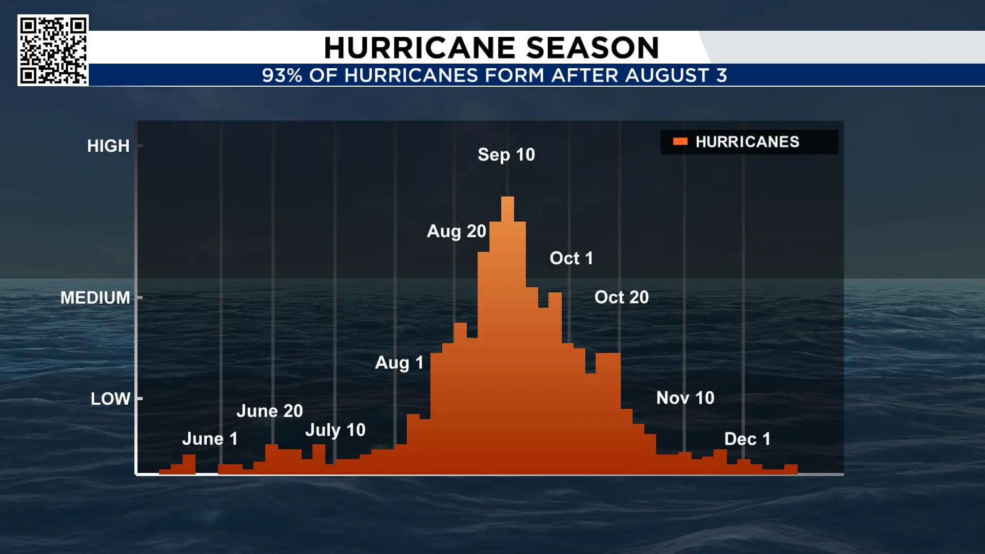
August is the “real” start of the hurricane season. 93% of hurricanes form after August 3rd. However, this is not your typical hurricane season. With an incredibly strong El Nino the numbers will be kept way down this season. No storms are expected in the next 10 days and probably a little further than that. Wind shear in the Caribbean is the strongest it’s been since 1979. Oh, and there is some thick Saharan dust over the Atlantic. We’ll keep you posted on what’s expected for the later part of August.
10 Day Forecast:
Temperatures remain in the upper 90s through Wednesday. Beginning Thursday, temperatures lower slightly and rain changes go up slightly. Our best chance of widespread heavy rain and thunderstorms is Sunday and Monday. But even an isolated storm that forms before can be strong and bring street flooding similar to what we saw Tuesday.


More Stories Like This In Our Email Newsletter

